
Internet has been hideous on this trip, including the lodgings’ WiFi and the villages’ cell networks. The exceptions are surprising and delighting. In Richmond the WiFi was good enough to download Rushmore from iTunes so I could introduce Ma to her first Wes Anderson film. For £20 I bought a SIM card from an airport vending machine that gives me all-I-can-eat data, and it worked great up until I reached the boonies of northern England. Now when I get 3G walking through a small village, I drink my fill from the hose while I can.
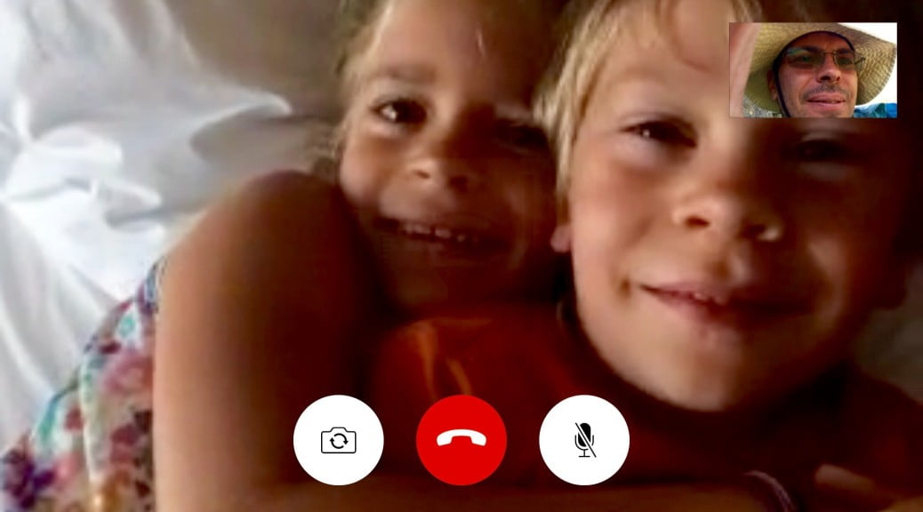
On one occasion I had an amazing signal at the top of a hill while we stopped for lunch, and had the best unexpected FaceTime chat with my kids back home. So I’ll stop complaining now, but I wouldn’t mind another opportunity like that to present itself! Last night I held my iPad high over my head in just the right position trying to get any web page to load, managed to trade a few iMessages before my arms got tired, and then I just gave up and fell asleep. It’s amazing how much more sleep you get with inconvenient Internet!
While on the subject of technology, let me give a shout out to Viewranger, the mapping app I’m using on my iPhone and iPad. I was able to download the high detail Ordinance Survey maps (£20) for the Wainwright Walk, as well as routes contributed by other hikers for each day’s segment. And they have a watch app for it, too, so at a glance I can see which direction to go and how far to the destination. It’s been great! I also have a backup battery in my pocket, but I’ve only needed to use it twice in 11 days.
Off to Osmotherly now. May the broadband gods smile upon us…